I'm Tomasz Szot
scientist, teacher
and outdoor fan.
About Me.
Scientist and teacher with nearly 20 years of experience. Interdisciplinary area of professional interest related to the use and testing methodology of satellite navigation receivers in sport and recreation, documented by numerous publications. Several years in various management positions.
In the past, organizer of sports and recreational events for children and youth, including municipal school games in the Gdańsk Championship series (various levels).
Big fan of outdoor activities, especially bike and foot orienteering.
Professional experience
-
 2007-now – RESEARCHER AND LECTURER,
Gdansk University of Physical Education and Sport -
• Scientist – research related to the use and methodology of testing global satellite navigation systems receivers in sport and recreation, - • Lecturer – IT subjects (mostly) and relating to the organization of events and recreation for children and youth,
- • in the years 2018-19 Head of Department of Biomechanics and Sports Engineering; 2017-18 Head of Department of Methodology and Statistics, 2015-18 Head of the Team for Analysis and Quality of Education
Education
- 2014 - Ph. D. in physical culture sciences, Gdansk University of Physical Education and Sport, Poland
- 2013 - Research and Development Project Manager, PG studies, WSB University in Gdansk, Poland
- 2004 - Sports Manager, PG studies, Gdansk University of Physical Education and Sport, Poland
- 2003 - Pedagogical course, Baltic Education Center “Oświata-Lingwista”, Gdańsk, Poland
- 2003 - M. Sc. in information technology, University of Gdańsk, Poland
The NEUROFEEDBACK EEG Project
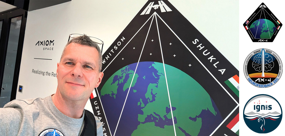
Member of the project team conducting the NEUROFEEDBACK EEG scientific experiment during the stay of Polish astronaut Sławosz Uznański-Wiśniewski at the International Space Station (June/July 2025).
Team members: Marcin Dornowski (leader), Inna Sokołowska, Milena Lachowicz, Tomasz Szot.
More info about:
- • the Experiment: plinspace.pl
- • the AX-4 Mission: axiomspace.com
- • the Polish Space Agency: polsa.gov.pl
- • the European Space Agency: esa.int
Selected Works.
- Szot T, Evolution of sport wearable global navigation satellite systems’ receivers: A look at the Garmin Forerunner series. Proceedings of the Institution of Mechanical Engineers, Part P: Journal of Sports Engineering and Technology. 2024;0(0). DOI:10.1177/17543371241237319
- Szot T, Sontowski M, Global navigation satellite systems’ receivers in mountain running: the elevation problem. Sports Eng, 2024; 27, 1. DOI:10.1007/s12283-023-00443-3
- Szot T, Sontowski M. Evaluation of elevation parameter determination by Global Navigation Satellite Systems' sports receivers: A preliminary study. Balt J Health Phys Act. 2024;16(2):Article4. DOI:10.29359/BJHPA.16.2.04
- Szot T, Specht C, Dąbrowski PS, Specht M. Comparative analysis of positioning accuracy of Garmin Forerunner wearable GNSS receivers in dynamic testing. Measurement 2021; vol. 183; DOI:10.1016/j.measurement.2021.1098464
- Specht C, Szot T, Dabrowski P, Specht M. Testing GNSS receiver accuracy in Samsung Galaxy series mobile phones at a sports stadium. Measurement Science and Technology 31(2020); DOI:10.1088/1361-6501/ab75b2
- Specht C, Szot T, Specht M, Dabrowski P. Selected aspects of testing the positioning accuracy of GNSS receivers used in sports and recreation by dynamic measurements. Baltic Journal of Health and Physical Activity 2019; 11(2): 75-84. DOI:10.29359/BJHPA.11.2.08
- Specht C, Dąbrowski P, Pawelski J, Specht M, Szot T. Comparative analysis of positioning accuracy of GNSS receivers of Samsung Galaxy smartphones in marine dynamic measurements. Advances in Space Research, 2019; 63:3018–3028 DOI:10.1016/j.asr.2018.05.019
- Szot T, Specht C, Specht M, Dabrowski PS. Comparative analysis of positioning accuracy of Samsung Galaxy smartphones in stationary measurements. PLoS ONE, 2019; 14(4):e0215562. DOI:10.1371/journal.pone.0215562
Full list available here.
Outdoor.
Participant in many amateur sports competitions (complete list here) and also co-organizer of multiple orienteering events. Member of Pomeranian Orienteering Club HARPAGAN.
Loves spending time surrounded by nature.
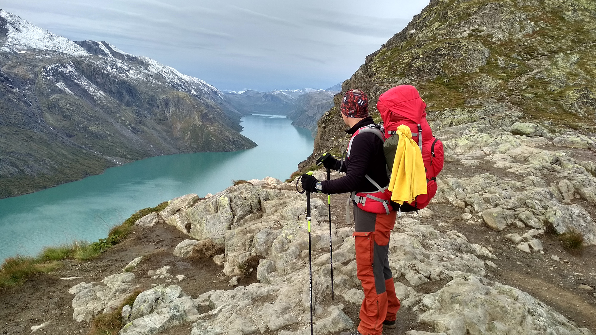
Norway (Jotunheimen)
Mountain hiking
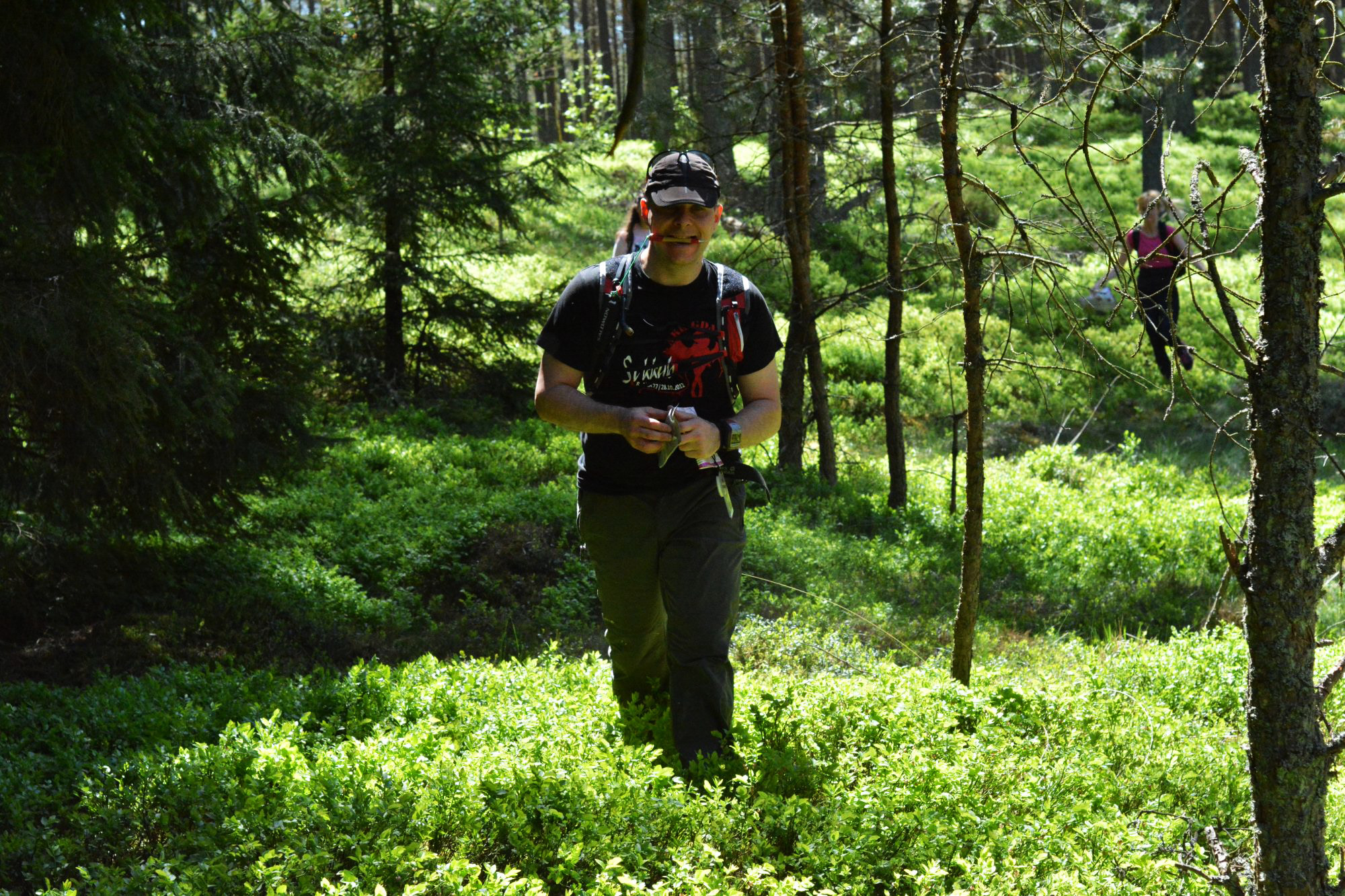
zKompasem (event)
Recreational orienteering
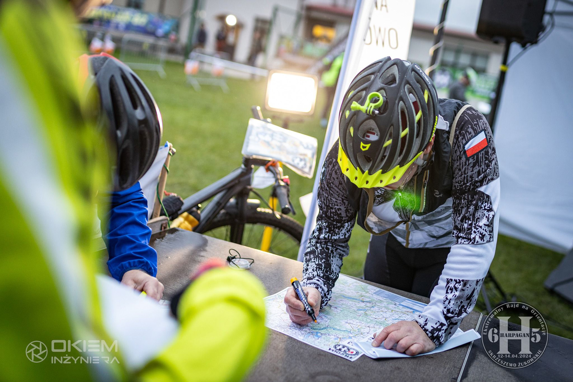
Harpagan (event)
Planning 200+ km MTB-O route
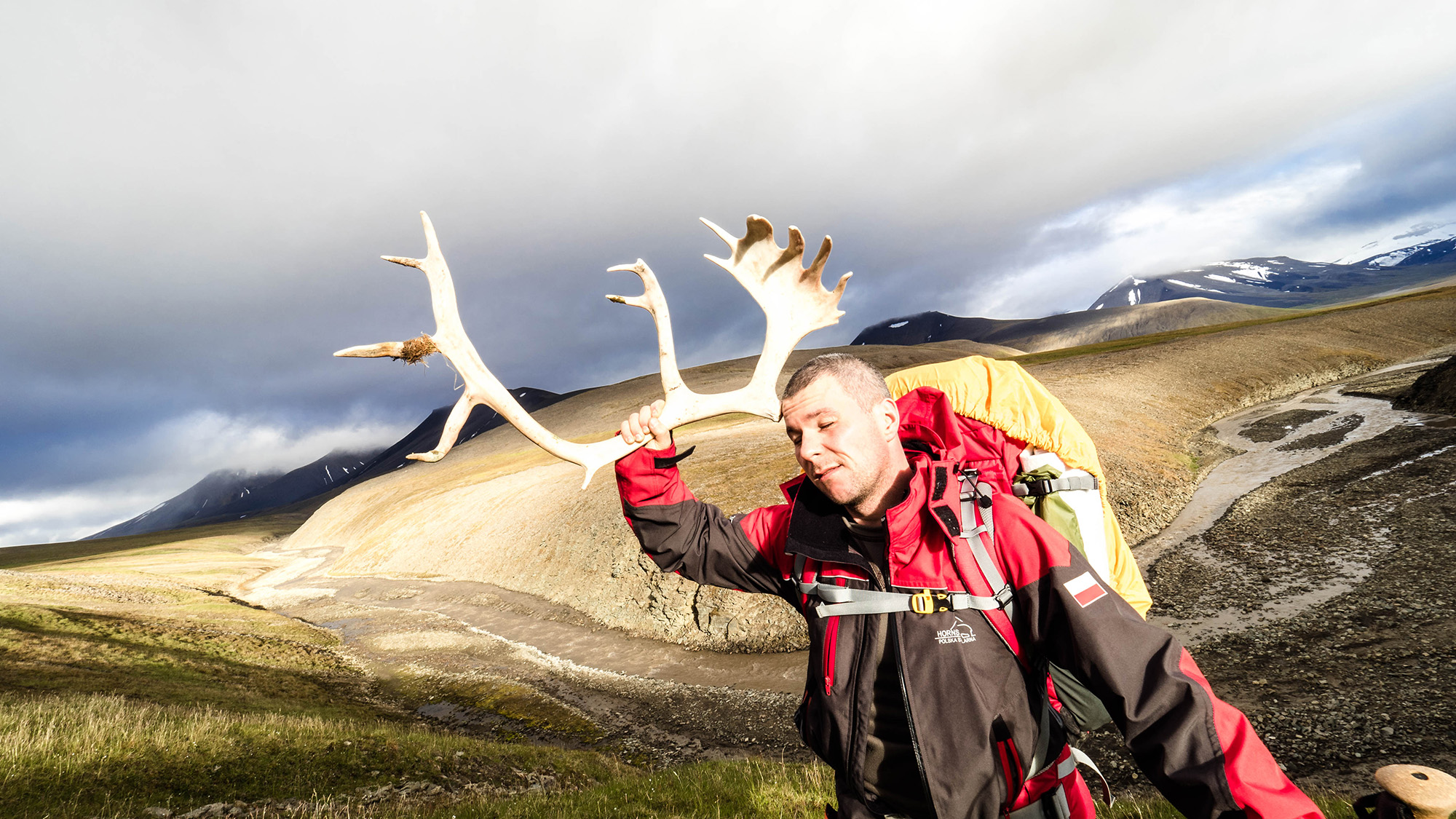
Spitsbergen
Arctic Circle off-path hiking
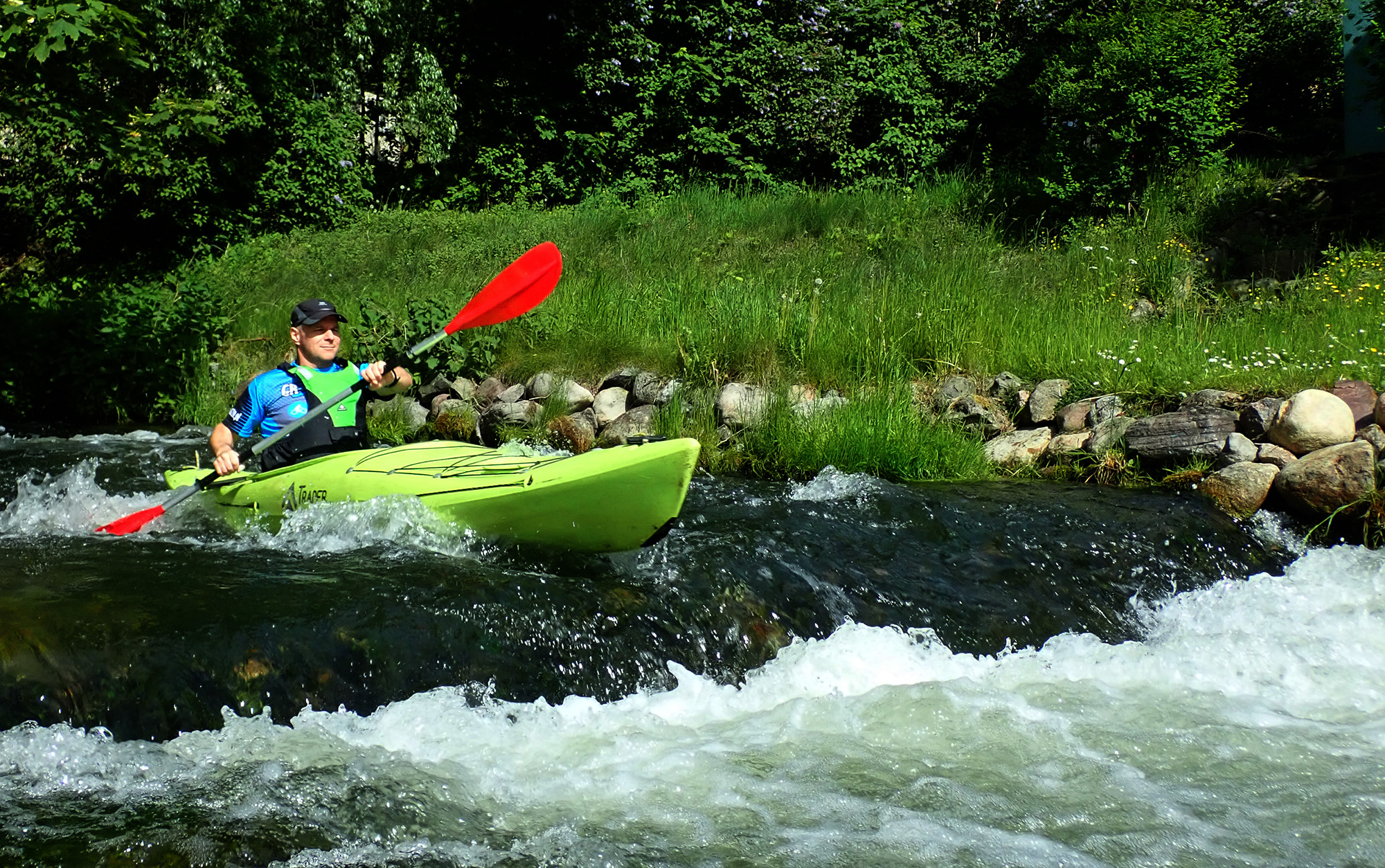
Kashubia
Kayaking with GR3miasto
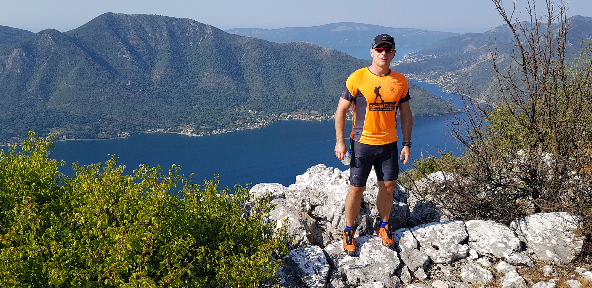
Montenegro (Bay of Kotor)
Searching for top views
Survived Orienteering Events
on foot (sometimes running) and by bicycle
Map-Based Events Finished in Top 3
most of them local, some national. Amateur sports.
Mean Orienteering Distance
no matter the form, an average event has been that lengthy
The Longest One...
...was the adventure race. Without sleep of course!